
July 1970 · Vol. 4 No. 9
July 1970 Magazine (Vol. 4 No. 9)
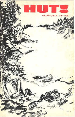
Magazine · 32 pages
Search this issue
July 1970 Magazine (Vol. 4 No. 9)
Captured text — scan page 13
Automatically captured text may contain recognition errors. Compare it with the original scan.
Sieur de la Verendrye, the first European to leave a record of
travel here (1731), and Alexander MacKenzie who traveled this
route in his epic journey to the Pacific (1793) would know it yet.
At one time, probably as late as the late 17th century, the
Sioux were the dominant Indians in the area. By the time the
first fur traders arrived, however, the area was controlled by the
Chippewas who, moving in from the east, had driven the Sioux out
of the woodlands and onto the plains. The Chippewas, in their
early battles with the Sioux, had the advantage of firearms and
powder which they had obtained from traders.
The real fame of the area came in 1731 with the arrival of
Verendrye, starting the legend of the Voyageurs of the fur trade
era. In the spring of 1732, the Verendrye party and others pad-
dled their birch bark canoes over what are now the waters of the
BWCA establishing posts on the border lakes.
Control of Canada passed from the French to the English in
1760. English, Scottish, and Candian voyageurs and traders then
began using earlier French waterways into the interior.
The great years of the Voyageurs and the fur trade era were
near an end on the BWCA border waters by 1800.
By 1840, others were finding their way into the Country. They
were explorers and surveyors.
After years of disputes over the international boundary be-
tween the United States and Great Britain the question was final-
ly settled by the Webster-Ashburton Treaty of 1842. The treaty
provided that "all the water communications and all the usual
portages shall be free and open to the use of citizens and sub-
jects of both countries."
The first settlers were finding their way into Northern Minn-
esota by 1860. They included loggers, miners and farmers. By
1884, the first railroad had penetrated into the area and set the
stage for extensive mining and logging operations.
The Superior National Forest was established in 1909.
With much of Northeastern Minnesota's big timber gone as the
result of logging and wildfire and with other threats of complete
commercialization of the area, concerned citizens petitioned the
Government to preserve portions of the Superior National Forest
primarily for recreational use in a primitive setting.
Early in the 1920's a recreation plan based on the Forests
unique and legendary waterways was prepared. This plan led to a
policy in 1926 which set aside one thousand square miles of the
Forest, containing the best of lakes and waterways, as a wilder-
ness recreation area.
Enlargement of the Superior National Forest in the middle 1930's
led to addition of suitable portions to the "wilderness" area.
In 1939 the present BWCA was redesignated the Superior Roadless
Primitive Area. It consisted of a gross area of just over one
million acres in the same three separate units which exist today.
A plan of management, approved in 1948, reaffirmed existing
management redesignating the area the"Superior Roadless Area."
A final name change came in 1958 when the more fitting Boundary
Waters Canoe Area was adopted.
11
Article contents & approved summaries (0)
No article summaries are available for this view.