
September 1988 · Vol. 24 No. 9
September 1988 Magazine (Vol. 24 No. 9)
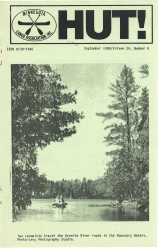
Magazine · 40 pages
Search this issue
For the full-resolution original, use Open PDF above. Your browser handles PDF zoom and navigation.
Searchable text for scan page 8
BWCA, QUETICO AND VOYAGEURS: EAGLES AND WATERFALLS TRIP
Eight waterfalls and three American Bald Eagles up close. I mean
close!
These were only some of the highlights of my 1988 canoe trip from
the Moose River, through Lac La Croix, down the Namakan River, and
across Namakan Lake to Sullivans' Bay and the Ash River. I also saw
some of the clearest of the pictographs in the BWCA and had a fine
walleye dinner without even doing any fishing.
The Moose River entry point is off the Echo Trail west of Ely.
We used two cars for a shuttle for this east to west trip. The
Ash-Ka-Nam resort asked only $4 for parking for a week. There is
also a free forest service lot. We had a solo canoe atop our car so
wanted a little more security. Back on the Echo Trail after
arranging the shuttle, we camped at the Jeanette Campground a couple
miles from the put~in.
The Moose River lived up to its name. A female and its calf
crossed the narrow stream just as we rounded one of the many bends.
After crossing Nina Moose Lake and spending a night in Lake Agnes, we
camped across from Warrior's Hill in Lac La Croix. A day trip to
Rebecca Falls and Curtain Falls gave me a new appreciation for the
power of falling water. Volumes of water rush through short, narrow
gorges. I let my mind wander to whitewater canoeing. What a thrill
if this were canoeable! There's not enough room for maneuverability
though and a couple of drops are too steep.
On the same land mass as Warrior's Hill, on the northwest shore
are the pictographs of hand prints and deer or moose.
There are at least 5 rapids along the Namakan River as we head
northwest out of Lac La Croix. Some are runnable. Many resorts use
this river so the portages are not as clean as we're used to in the
BWCA. The first two, Snake Falls and Ivy Falls are not runnable.
Three mile Lake has a canoe base to which a resort flies clients. We
camped on the northern and largest island and did not have any such
visitors. We were there mid-week and it was cool and rainy. The
campsite on the smaller island nearer the canoe base was
over-developed with tables made from poles lashed to trees. Ours was
clean and seemed unused. Just before the spectacular Quetico Falls,
we sighted an eagle on a tree surveying the river below. It did not
Jeave its post even as we paddled by.
The McKenzie map of this river was incomplete. Campsites were
not marked and some portages were omitted as compared to the Fisher
map. Not all of the omitted portages were ones I'd omit. I did not
run some of those rapids.
As we ate lunch on an island half hour from the mouth of the
Namakan River, Mr. R. Burns, the Canadian ranger from the Sand Point
Lake-Canadian customs stopped by to chat. He told us we ought to
stop by Betty Lessard's resort at the point behind the largest island
at the mouth of the river. She has a collection of Ojibway and other
artifacts from the area. There is a place on the river near her
resort named Tar Point. This is where the Indians patched the
Voyageurs’ canoes. In low water many artifacts can be found on the
sand bar extending from Betty's Point across to the big island. You
can read about Betty's life in the Spring 1988 "Boundary Waters
Journal." She is a fun person to visit.
Having our permit to travel and camp in the Canadian section of
Namakan Lake provided us with one of the lovliest campsites and led
to my close encounter with two American Bald Eagles. Following the
north shore of Namakan Lake, we passed the large sand beach just
around the bend from Betty's place and continued on to one more
mid-way across and a little west from "My Island" on the American
side. The wind this Saturday had been ferocious on the big lake,
8 HUT! -September 1988
Article contents & approved summaries (0)
No article summaries are available for this view.