
May 1973 · Volume/issue not printed or unknown
May 1973 Magazine
Magazine · 24 pages
Search this issue
For the full-resolution original, use Open PDF above. Your browser handles PDF zoom and navigation.
Searchable text for scan page 10
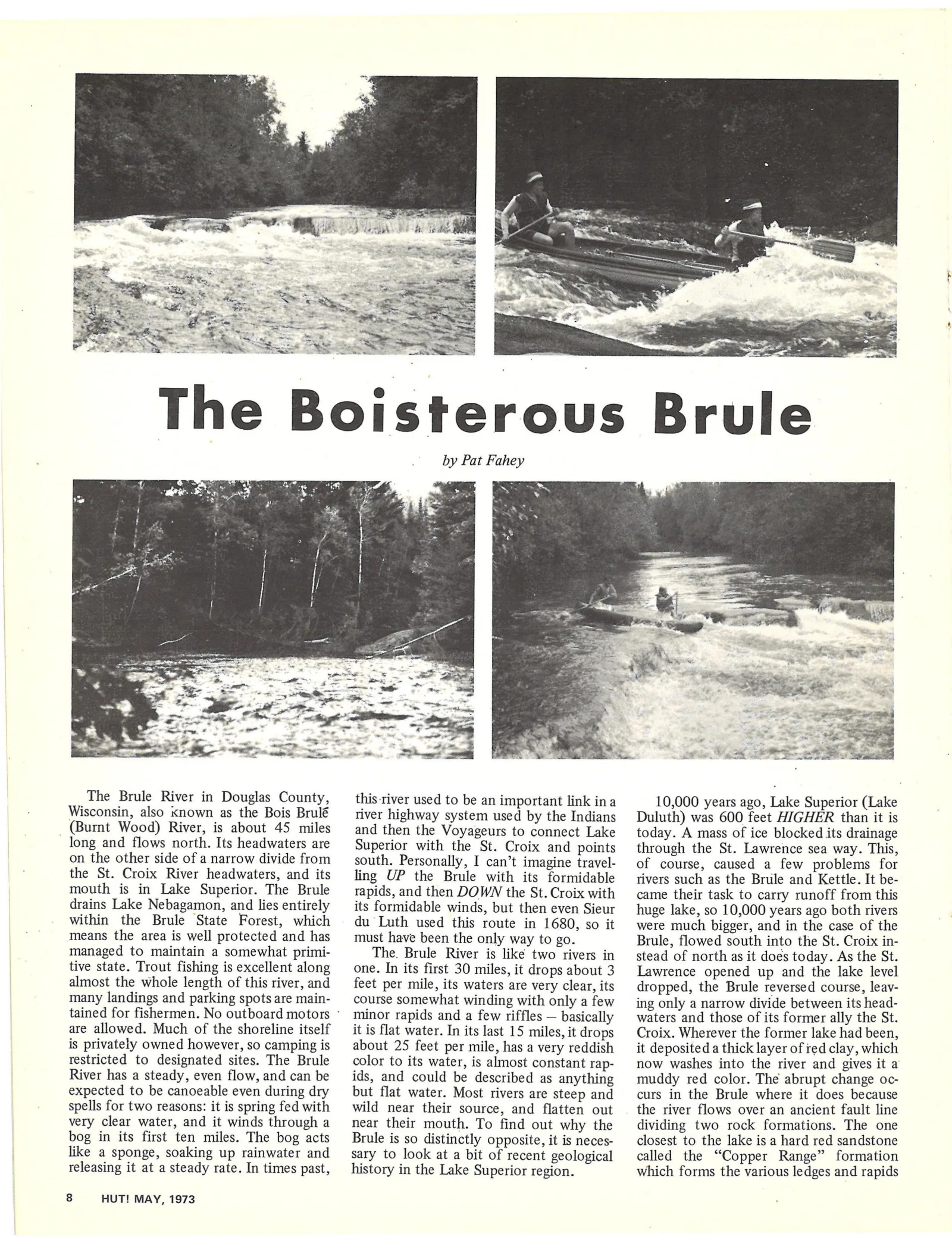
The Boisterous Brule
by Pat Fahey
The Brule River in Douglas County, _ this-river used to be an important link ina 10,000 years ago, Lake Superior (Lake
Wisconsin, also xnown as the Bois Brulé _ river highway system used by the Indians Duluth) was 600 feet HIGHER than it is
_ (Burnt Wood) River, is about 45 miles and then the Voyageurs to connect Lake today. A mass of ice blocked its drainage
long and flows north. Its headwaters are Superior with the St. Croix and points through the St. Lawrence sea way. This,
on the other side of a narrow divide from south, Personally, I can’t imagine travel- of course, caused a few problems for
the St. Croix River headwaters, and its ling UP the Brule with its formidable rivers such as the Brule and Kettle. It be-
mouth is in Lake Superior. The Brule rapids, and then DOWN the St. Croix with came their task to carry runoff from this
drains Lake Nebagamon, and lies entirely _its formidable winds, but then even Sieur huge lake, so 10,000 years ago both rivers
within the Brule State Forest, which du Luth used this route in 1680, so it | were much bigger, and in the case of the
means the area is well protected and has _ must have been the only way to go. Brule, flowed south into the St. Croix in-
managed to maintain a somewhat primi- The. Brule River is like two rivers in stead of north as it does today. As the St.
tive state. Trout fishing is excellent along one. In its first 30 miles, it drops about 3. Lawrence opened up and the lake level
almost the whole length of this river, and _ feet per mile, its waters are very clear, its dropped, the Brule reversed course, leav-
many landings and parking spots are main- _ course somewhat winding with only a few ing only a narrow divide between its head-
tained for fishermen. No outboard motors © minor rapids and a few riffles — basically waters and those of its former ally the St.
are allowed. Much of the shoreline itself it is flat water. In its last 15 miles, it drops Croix. Wherever the former lake had been,
is privately owned however, so camping is about 25 feet per mile, has a very reddish __ it deposited a thick layer of ed clay, which
restricted to designated sites. The Brule color to its water, is almost constant rap- now washes into the river and gives it a
River has a steady, even flow,andcan be ids, and could be described as anything muddy red color. The abrupt change oc-
expected to be canoeable even during dry _but flat water. Most rivers are steep and curs in the Brule where it does because
spells for two reasons: it is spring fed with wild near their source, and flatten out the river flows over an ancient fault line
very clear water, and it winds through a near their mouth. To find out why the dividing two rock formations. The one
bog in its first ten miles. The bog acts Brule is so distinctly opposite, it is neces- _ closest to the lake is a hard red sandstone
like a sponge, soaking up rainwater and sary to look at a bit of recent geological called the “Copper Range” formation
releasing it at a steady rate. In times past, _ history in the Lake Superior region. which forms the various ledges and rapids
8 HUT! MAY, 1973
Article contents & approved summaries (0)
No article summaries are available for this view.