
July 1973 · Volume/issue not printed or unknown
July 1973 Magazine
Magazine · 20 pages
Search this issue
For the full-resolution original, use Open PDF above. Your browser handles PDF zoom and navigation.
Searchable text for scan page 4
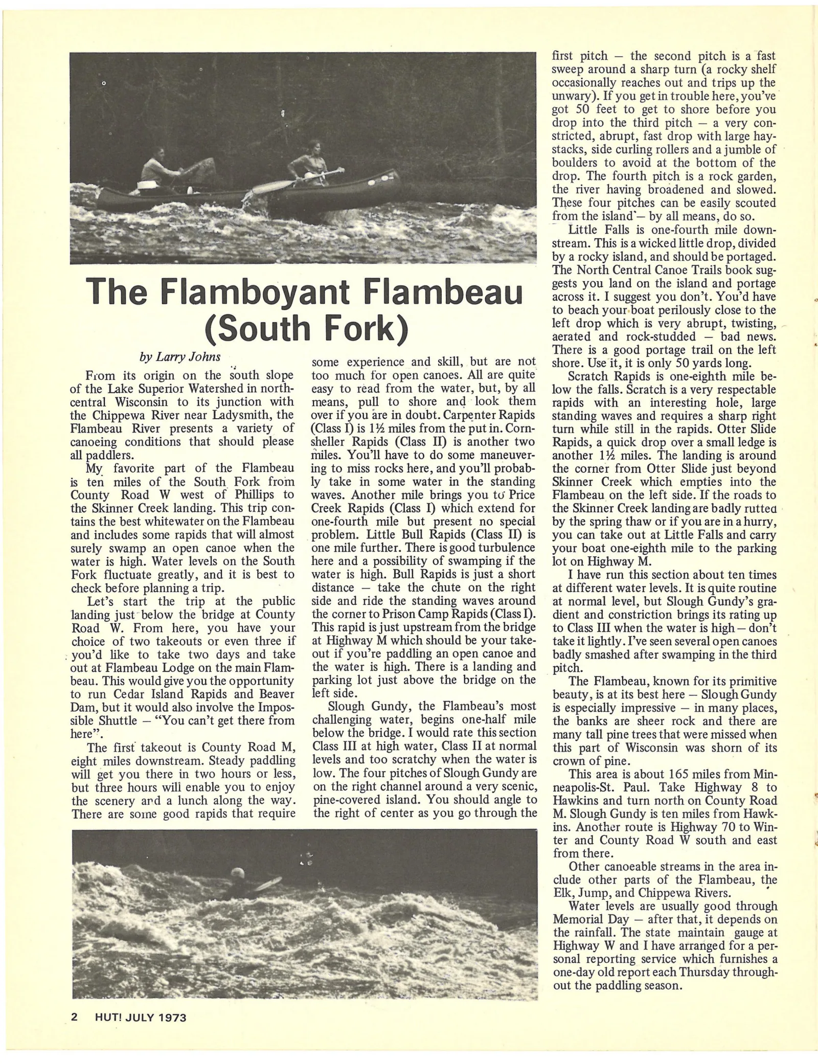
first pitch — the second pitch is a fast
sweep around a sharp turn (a rocky shelf
occasionally reaches out and trips up the
unwary). If you get in trouble here, you’ve-
got 50 feet to get to shore before you
drop into the third pitch — a very con-
stricted, abrupt, fast drop with large hay-
stacks, side curling rollers and a jumble of
boulders to avoid at the bottom of the
drop. The fourth pitch is a rock garden,
the river having broadened and slowed.
These four pitches can be easily scouted
from the island”— by all means, do so.
Little Falls is one-fourth mile down-
stream. This is a wicked little drop, divided
Ss ee 7 ee eS * by arocky island, and should be portaged.
The North Central Canoe Trails book sug-
gests you land on the island and portage
T h e F | a eal boya nt IF | a mM bea u across it. I suggest you don’t. You'd have
to beach your-boat perilously close to the
(S O uth [IE re) rk) left drop which is very abrupt, twisting,
aerated and rock-studded — bad news.
Bee ich ; ; There is a good portage trail on the left
TY OS some experience and skill, but are not shore. Use it, it is only 50 yards long.
From its origin on the south slope too much for open canoes. All are quite Scratch Rapids is one-eighth mile be-
of the Lake Superior Watershed in north- easy to read from the water, but, by all low the falls. Scratch is a very respectable
central Wisconsin to its junction with means, pull to shore and look them rapids with an interesting hole, large
the Chippewa River near Ladysmith, the over if you are in doubt. Carpenter Rapids standing waves and requires a sharp right
Flambeau River presents a variety of (Class I) is 1% miles from the putin.Corn- turn while still in the rapids. Otter Slide
canoeing conditions that should please sheller Rapids (Class II) is another two Rapids, a quick drop over a small ledge is
all paddlers. miles. You'll have to do some maneuver- another 1% miles. The landing is around
My favorite part of the Flambeau ing to miss rocks here, and you'll probab- the corner from Otter Slide just beyond
is ten miles of the South Fork from ly take in some water in the standing Skinner Creek which empties into the
County Road W west of Phillips to waves. Another mile brings you tu Price Flambeau on the left side. If the roads to
the Skinner Creek landing. This trip con- Creek Rapids (Class I) which extend for the Skinner Creek landing are badly ruttea
tains the best whitewater onthe Flambeau one-fourth mile but present no special by the spring thaw or if youare ina hurry,
and includes some rapids that will almost problem. Little Bull Rapids (Class II) is you can take out at Little Falls and carry
surely swamp an open canoe when the one mile further. There isgood turbulence your boat one-eighth mile to the parking
water is high. Water levels on the South here and a possibility of swamping if the lot on Highway M.
Fork fluctuate greatly, and it is best to water is high. Bull Rapids is just a short I have run this section about ten times
check before planning a trip. distance — take the chute on the right at different water levels. It is quite routine
Let’s start the trip at the public side and ride the standing waves around at normal level, but Slough Gundy’s gra-
landing just’ below the bridge at County the corner to Prison Camp Rapids (ClassI). dient and constriction brings its rating up
Road W. From here, you have your This rapid is just upstream from the bridge _ to Class III when the water is high — don’t
choice of two takeouts or even three if at Highway M which should be your take- take it lightly. I’ve seen several opencanoes —
-you’d like to take two days and take out if you’re paddling an open canoe and _ badly smashed after swamping in the third
out at Flambeau Lodge on the mainFlam- the water is high. There is a landing and pitch.
S
beau. This would give youthe opportunity parking lot just above the bridge on the The Flambeau, known for its primitive
to run Cedar Island Rapids and Beaver left side. beauty, is at its best here — Slough Gundy
Dam, but it would also involve the Impos- Slough Gundy, the Flambeau’s most _ jis especially impressive — in many places,
sible Shuttle — “You can’t get there from challenging water, begins one-half mile the banks are sheer rock and there are
here”’. below the bridge. I would rate thissection many tall pine trees that were missed when
The first takeout is County Road M, Class III at high water, Class [lat normal this part of Wisconsin was shorn of its
eight miles downstream. Steady paddling levels and too scratchy when the water is crown of pine.
will get you there in two hours or less, low. The four pitches of Slough Gundy are This area is about 165 miles from Min-
but three hours wili enable you to enjoy on the right channel around a very scenic, neapolis-St. Paul. Take Highway 8 to
the scenery ard a lunch along the way. _pine-covered island. You should angle to Hawkins and turn north on County Road
There are some good rapids that require _the right of center as you go through the M. Slough Gundy is ten miles from Hawk-
ins. Another route is Highway 70 to Win-
ter and County Road W south and east
from there.
Other canoeable streams in the area in-
clude other parts of the Flambeau, the
Elk, Jump, and Chippewa Rivers. i
Water levels are usually good through
Memorial Day — after that, it depends on
the rainfall. The state maintain gauge at
Highway W and I have arranged for a per-
sonal reporting service which furnishes a
one-day old report each Thursday through-
out the paddling season.
2 HUT! JULY 1973
Article contents & approved summaries (0)
No article summaries are available for this view.