
April 1974 · No. 7
April 1974 Magazine (No. 7)
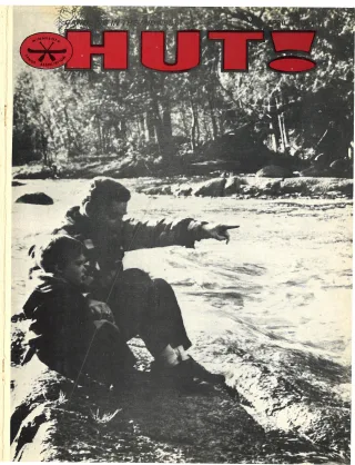
Magazine · 36 pages
Search this issue
April 1974 Magazine (No. 7)
Captured text — scan page 25
Automatically captured text may contain recognition errors. Compare it with the original scan.
were honorable enough to returnit.(Un- able to many mountain streams, reaching for certain is to go and look. There is a
fortunately, there wasn’t much left of it.) Class 4 at flood stage. (The most dangerous “river gauge” on the northeast pillar of the
"Physical Features alpine rivers which can be run are rated Highway 23 bridge one mile upstreamfrom
Class 5.) At low water, Hellsgate isa more Banning State Park. Zero to One is low —
I am not a geologist, so I will only say modest Class 3. This is still plenty tough— One to Two is good — Two to Three is
that the rocks in the Kettle are quite rocky the people who set these classifications high (dangerous) — above three isvery high!
and more rigid than my canoes. There is are the types who go to world champion-
one mystery which might interest scien- ships (“robust superphysical snobs”). By The Hellsgate Trip
tists: That is to explain the aluminum and way of comparison, most other rivers in
fiberglass encrustations which have been South-Central Minnesota would be rated Here is a brief description of this four
observed on the upstream side of certain Class 1 and a few would be Class 2. mile run — putting in at the boat landing
rocks in this stream. The name “Kettle in Banning State Park and taking out at
River” derives from the large pot-holes The River Gauge Robinson Park, on the right bank of the
which the current has gouged out of the river, just north of Highway 123. The first
sandstone walls. These same walls account The Kettle is what could be called a rapids, Blueberry Slide, will be visible as
for the river’s difficuity, since they confine “run-off” river; it fills up quickly withany you put in. Blueberry Slide contains an
and pile up the water like an enormous _ heavy rain or melting snow, then empties S-turn and two main drops (see Figure 1).
drainpipe. out in a few days. Consequently its level Then comes 100 yards of flat water fol-
In difficulty, the Hellsgate is compar- is very hard to guess; the only way to tell lowed by Mothers’ Delight. The “Delight”
Fig 1 - Blueberry Slide Fig. 27 Dragan’s Tooth
t
—
=
Figure 1. Blueberry Slide. This is prob- second drop. (The “Flush” was named by Figure 2. Dragon’s Tooth. This is the
ably the most difficult rapids in the river. an irate canoeist who was ina scatological other candidate for the title of “most
The best route under normalcircumstances frame of mind because the river had just difficult rapids”. (Both it and Blueberry
is indicated by the heavy black line. The flushed away his canoe.) Slide have their adherents.) The problem
zig-zag line indicates the detour made by The zig-zag line (kayaks only) goesover with this rapids is the “Tooth”, a large
kayakists running the river at flood stage. an “island” which in low water risesabout outjutting of rock on river right. Avoid it
(Note: do NOT attempt to run an open two feet above the surface of the river. At’ (ie. STAY LEFT). Unfortunately this
canoe through these rapids at flood stage— flood stage, however, this “island” may be jsn‘t too easy to do, because the open
you'll only lose your canoe.) _ 10 feet under and covered with waves six channel at the top of the rapids is on the
The normal canoe route (heavy black feet high! right, and then a sharp cut (or S-turn) is
line) starts on the LEFT, going down All figures are as seen when looking necessary in order to get to the left. The
through the “Flush” then makes a sharp downstream (south). cut must be made through swirling water;
S-turn to the RIGHT in preparation for the furthermore the distance between the two
drops is only about 60 feet.
HUT! APRIL 1974 13
Article contents & approved summaries (0)
No article summaries are available for this view.