
August 1981 · Volume/issue not printed or unknown
August 1981 Magazine

Magazine · 16 pages
Search this issue
For the full-resolution original, use Open PDF above. Your browser handles PDF zoom and navigation.
Searchable text for scan page 6
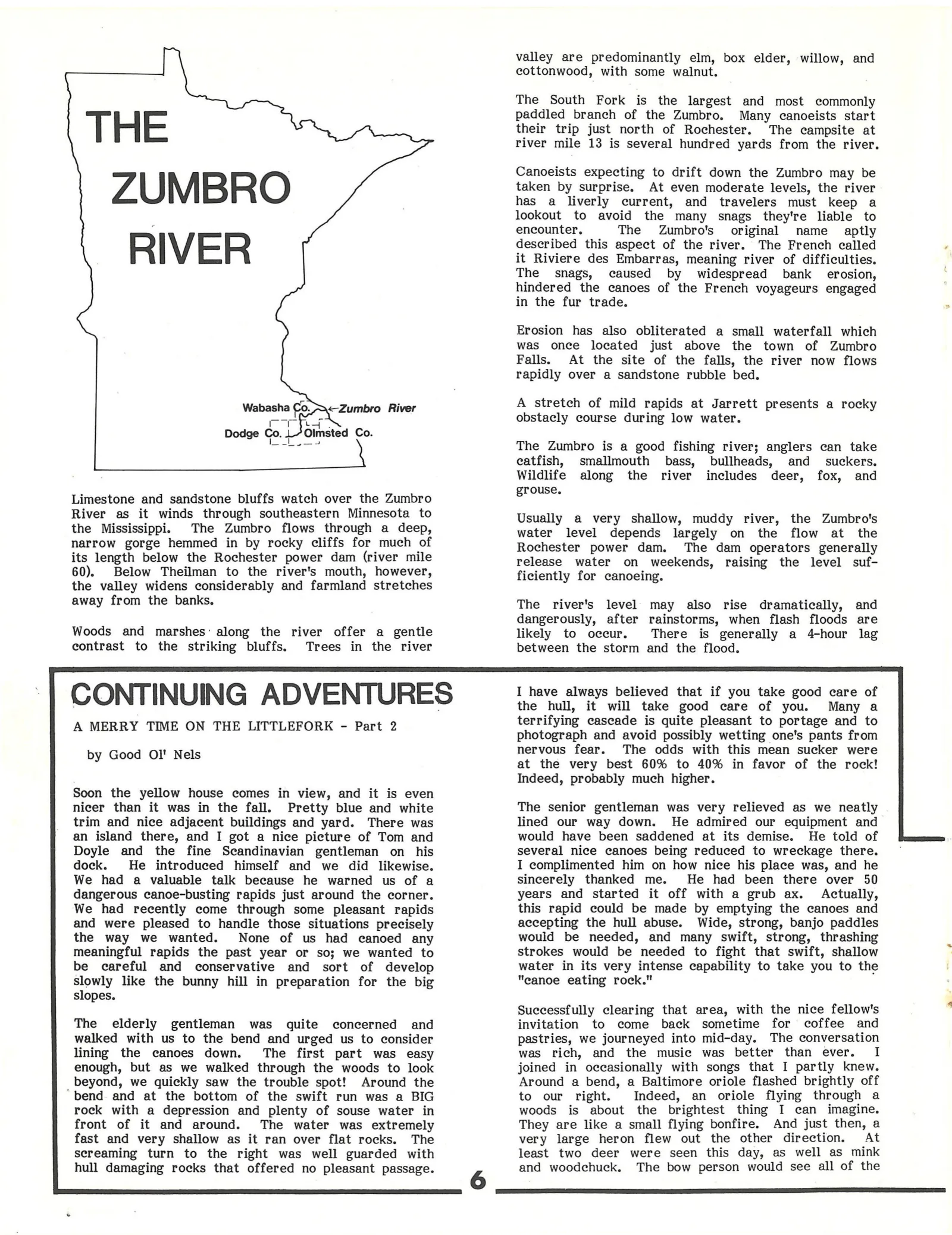
THE
ZUMBRO
RIVER
Wabasha Co. <Zumbro River
[— i a
Dodge Co. Olmsted Co.
Limestone and sandstone bluffs watch over the Zumbro
River as it winds through southeastern Minnesota to
the Mississippi. The Zumbro flows through a deep,
narrow gorge hemmed in by rocky cliffs for much of
its length below the Rochester power dam (river mile
60). Below Theilman to the river's mouth, however,
the valley widens considerably and farmland stretches
away from the banks.
Woods and marshes: along the river offer a gentle
contrast to the striking bluffs. Trees in the river
valley are predominantly elm, box elder, willow, and
cottonwood, with some walnut.
The South Fork is the largest and most commonly
paddled branch of the Zumbro. Many canoeists start
their trip just north of Rochester. The campsite at
river mile 13 is several hundred yards from the river.
Canoeists expecting to drift down the Zumbro may be
taken by surprise. At even moderate levels, the river
has a liverly current, and travelers must keep a
lookout to avoid the many snags they're liable to
encounter. The Zumbro's. original name _ aptly
described this aspect of the river. The French called
it Riviere des Embarras, meaning river of difficulties.
The snags, caused by widespread bank erosion,
hindered the canoes of the French voyageurs engaged
in the fur trade.
Erosion has also obliterated a small waterfall which
was once located just above the town of Zumbro
Falls. At the site of the falls, the river now flows
rapidly over a sandstone rubble bed.
A stretch of mild rapids at Jarrett presents a rocky
obstacly course during low water.
The Zumbro is a good fishing river; anglers can take
eatfish, smallmouth bass, bullheads, and _ suckers.
Wildlife along the river includes deer, fox, and
grouse,
Usually a very shallow, muddy river, the Zumbro's
water level depends largely on the flow at the
Rochester power dam. The dam operators generally
release water on weekends, raising the level suf-
ficiently for canoeing.
The river's level may also rise dramatically, and
dangerously, after rainstorms, when flash floods are
likely to occur. There is generally a 4-hour lag
between the storm and the flood.
[ CONTINUING ADVENTURES
A MERRY TIME ON THE LITTLEFORK - Part 2
by Good Ol' Nels
Soon the yellow house comes in view, and it is even
nicer than it was in the fall. Pretty blue and white
trim and nice adjacent buildings and yard. There was
an island there, and I got a nice picture of Tom and
Doyle and the fine Scandinavian gentleman on his
dock. He introduced himself and we did likewise.
We had a valuable talk because he warned us of a
dangerous canoe-busting rapids just around the corner.
We had recently come through some pleasant rapids
and were pleased to handle those situations precisely
the way we wanted. None of us had canoed any
meaningful rapids the past year or so; we wanted to
be careful and conservative and sort of develop
slowly like the bunny hill in preparation for the big
slopes.
The elderly gentleman was quite concerned and
walked with us to the bend and urged us to consider
lining the canoes down. The first part was easy
enough, but as we walked through the woods to look
beyond, we quickly saw the trouble spot! Around the
‘bend and at the bottom of the swift run was a BIG
rock with a depression and plenty of souse water in
front of it and around. The water was extremely
fast and very shallow as it ran over flat rocks. The
screaming turn to the right was well guarded with
hull damaging rocks that offered no pleasant passage.
6
I have always believed that if you take good care of
the hull, it will take good care of you. Many a
terrifying cascade is quite pleasant to portage and to
photograph and avoid possibly wetting one's pants from
nervous fear. The odds with this mean sucker were
at the very best 60% to 40% in favor of the rock!
Indeed, probably much higher.
The senior gentleman was very relieved as we neatly
lined our way down. He admired our equipment and
would have been saddened at its demise. He told of
several nice canoes being reduced to wreckage there.
I complimented him on how nice his place was, and he
sincerely thanked me. He had been there over 50
years and started it off with a grub ax. Actually,
this rapid could be made by emptying the canoes and
accepting the hull abuse. Wide, strong, banjo paddles
would be needed, and many swift, strong, thrashing
strokes would be needed to fight that swift, shallow
water in its very intense capability to take you to the
"canoe eating rock."
Successfully clearing that area, with the nice fellow's
invitation to come back sometime for coffee and
pastries, we journeyed into mid-day. The conversation
was rich, and the music was better than ever. I
joined in occasionally with songs that I partly knew.
Around a bend, a Baltimore oriole flashed brightly off
to our right. Indeed, an oriole flying through a
woods is about the brightest thing I can imagine.
They are like a small flying bonfire. And just then, a
very large heron flew out the other direction. At
least two deer were seen this day, as well as mink
and woodechuck. The bow person would see all of the
Article contents & approved summaries (0)
No article summaries are available for this view.