
January 1973 · Volume/issue not printed or unknown
January 1973 Magazine

Magazine · 20 pages
Search this issue
For the full-resolution original, use Open PDF above. Your browser handles PDF zoom and navigation.
Searchable text for scan page 7
About one and one quarter miles down
is Shively Falls with an 80 rod portage on
the left bank. Here too, canoeists have
been swept over and have lived but others
have drowned. Everyone but the most ex-
pert should portage. Both of these have
been run in high water with large inflated
rafts. ,
The third portage is at Lift-over Falls
which I have run a number of times by
staying close to the right bank. The port-
age is on the right side also.
The fourth portage is at Everett’s
Rapids. The portage trail is on the right
as is also the main channel. It is not a
dangerous rapids.
The fifth rapids, “Squaw Rapids”, is
run by everyone. I do not believe there is
a portage trail here. Be careful anyway.
Mrs. Tom Ottertail drowned here in 1896.
The river then flows through the
“Chain of Lakes”, a series of lake-like ex-
pansions, quite shallow and weedy. There »
is a good campsite on the right shortly
after entering the slack water. There is
also a good campsite on the left bank op-
posite the mouth of Hilda Creek (named
for Hilda Brandvold who homesteaded six
miles up this creek in 1910.)
The “Chain of Lakes” comes to an end
at Table Rock Falls. The one mile long
portage starts well above the falls on the
right bank. If you have motorized support
and a cooperative wife, girlfriend, or dad,
you may paddle up Eight Mile Creek to
Highway No. 24, car portage your canoe
one and three fourths miles north to the
old CCC camp access where you can put
back into the river. But first you should
walk about a quarter mile down the port-
age trail to see the falls. I have portaged
the falls and then have run the balance of
the rapids which I classify as Class II, or
difficult. Once you start, there are no
- pools to stop in to catch your breath or
bail out the canoe though the last third : i
is not as steep and is more of a rock gar- ; \. al — aietiaet
den. The west bank is a cliff for part of
the way.
' The river is typically river again in a
deep valley with pine clad banks. Belgium
Fred’s Rapids are next. They are easy.
DeCaigny’s Rapids are just above Buyck.
They are also easy. But the bartender at
the tavern at Buyck will tell how two
young men upset there and chased down
the bank after their equipment and never
did find one packsack. The tavern is a
good place to rest and visit with the own-
ers who are descendents of the original
owners. The DeCaigny Half Way House
has been a landmark for more than eighty
years.
Below Buyck, the river flows through
pleasant, pastoral country. This was good
farm land before modern mechanized
agriculture outdated these small farms.
The last farm is four miles below Buyck.
The river then flows through totally wild
country without an access for fifteen
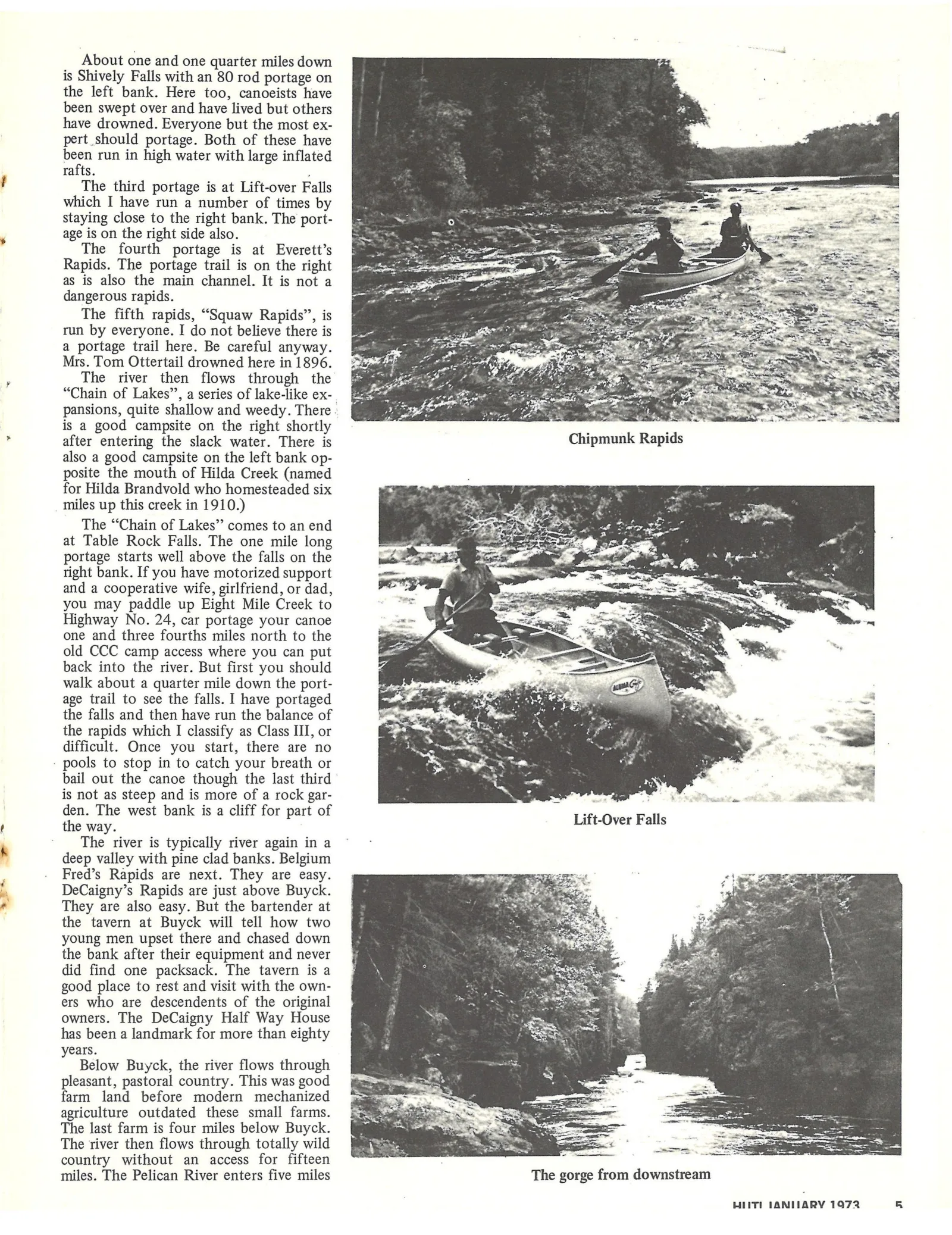
miles. The Pelican River enters five miles The gorge from downstream
HIITI IANIIARY 1972 q
Article contents & approved summaries (0)
No article summaries are available for this view.