
March 1973 · Volume/issue not printed or unknown
March 1973 Magazine

Magazine · 20 pages
Search this issue
For the full-resolution original, use Open PDF above. Your browser handles PDF zoom and navigation.
Searchable text for scan page 6
high bluff on the left bank then doubles
back heading east on the other side of
this bluff. The first leg of the U is quiet,
the second leg is a delightful mile of
broken water rock dodging. Above Lang-
lade three closely spaced rapids provide a
great finish to this run.
Below Langlade the rapids are longer.
bigger, and more complicated. Between
Langlade and the Boy Scout camp the
river swings away from the road and pro-
vides a semi-wilderness feeling. The rapids
are densely populated with boulders re-
quiring extensive maneuvering. A foot
bridge with low clearance indicates the
Gardner Dam Boy Scout camp has been
reached. About % mile downstream is a
suspension bridge. The Garfield Rapids
begin just upstream from this bridge.
From here it’s almost continuous rapids
down to Highway M so initial scouting is
suggested. Hanson’s Rapid is in this last
segment. It is preceded by a quiet pool
and turns slightly to the right at its start.
This one has a new ingredient -- ledges.
It’s short, so scouting and a possible port-
age are not too bad.
Gilmore’s mistake makes up for the
mile of quiet water after highway M. This
rapid is named for a logging company
scout who traveled upriver to this spot.
The river was overgrown with brush, and
he assumed the river began from a large
spring at this point. A large granite out-
cropping forms the left bank. Scout the
ledge which is about 100 yards down-
stream from the start. The river now en-
ters Indian-owned Menominee County,
home of the most beautiful forests and
dalles in the Midwest. Burnt Shanty Rap-
ids is characterized by an island near the
left bank. Stay near the right side of this
island or near the right bank of the river
proper.
In my estimation, Shotgun is the most
beautiful rapids east of the Mississippi.
This rapid is preceded by a few hundred
yards of large boulders which nearly block
the view downstream. The water flows
slowly around these boulders so there’s
no cause for concern. Then corhes the
rapids—over a mile of continuous broken
water in a narrow, twisting, rock garden
flanked by dense hardwoods and ever-
greens. The sounds, sights, and smells are
grand. The rapids finish strong—a narrow
steep drop with some sneaky rocks—then
its a quiet pool...some instant replays”
and some lasting memories. There are
many rapids like Shotgun on the Wolf.
County road WW divides Pismire Falls;
a rapid starting and ending with a ledge.
the bottom ledge is tricky, so a quick
scout is a good idea.
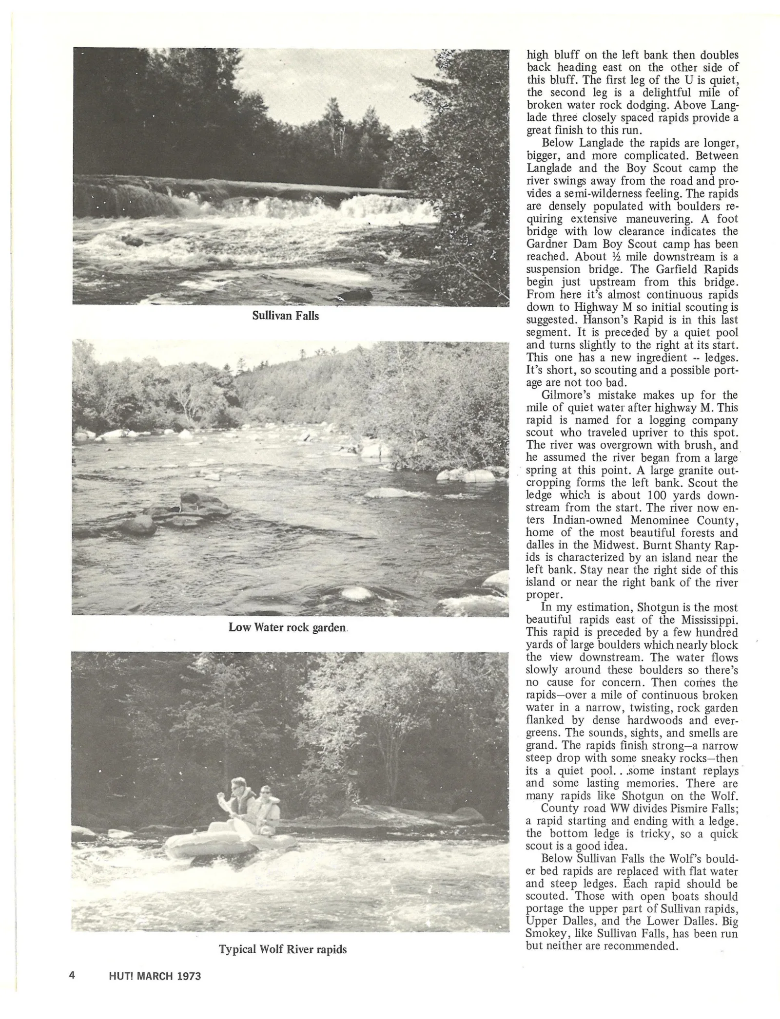
Below Sullivan Falls the Wolf’s bould-
er bed rapids are replaced with flat water
and steep ledges. Each rapid should be
scouted. Those with open boats should
portage the upper part of Sullivan rapids,
Upper Dalles, and the Lower Dalles. Big
Smokey, like Sullivan Falls, has been run
Typical Wolf River rapids but neither are recommended.
4 HUT! MARCH 1973
Article contents & approved summaries (0)
No article summaries are available for this view.